Genuine Antique Hand-Colored Map
1884
Maker: Walker.
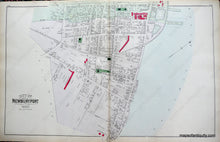
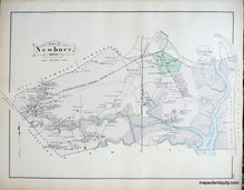
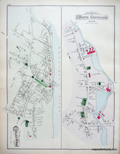
Antique hand-colored maps of the City of Newburyport (Ward 1) as the centerfold, Town of Newbury, and Villages of South Groveland and Groveland, MA, on the back side of the paper. Published in Walker's 1884 Atlas of Essex County. Side one depicts Ward 1 of the City of Newburyport, and shows public buildings and areas, churches, the Merrimack River, railroads, roads, schools, property owners, and businesses. Side two displays the Town of Newbury, including its extensive salt marshes, and the Villages of South Groveland and Groveland, including buildings with owners' names, public buildings and areas, water bodies, landforms, islands, railroads, roads, and schools. Very good overall antique condition with light overall toning and slight water stains at the paper edges that can be hidden with a mat when framing. Center spread of Newburyport measures approx. 16 x 25.5 inches, verso maps about half that size.
Genuine Antique Map from 1884
Item Number: MAS1660


