Pickup available at 1409 MAIN ST, CHATHAM MA
Usually ready in 24 hours
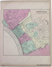
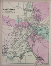
1871 - City of Worcester; verso: City of Springfield (MA) - Antique Map
-
1409 MAIN ST, CHATHAM MA
Pickup available, usually ready in 24 hours1409 Main Street
Chatham MA 02633
United States+15089451660
1871
Maker: Walling & Gray.
Â
From "Official Topographical Atlas of Massachusetts, from Astronomical, Trigonometrical, and Various Local Surveys; Compiled and Corrected by H.F. Walling & O.W. Gray," 1871, City of Springfield is on one side; City of Worcester is on the other, Good overall antique condition with some toning and image transfer. Worcester map measures approx. 15.5" X 12" and the Springfield map measures approx. 12 x 12 inches.
Â
Item Number: MAS1524


