20th century
Maker: USC&GS.
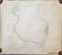
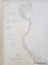
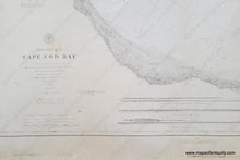
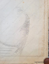
Vintage restrike of an antique nautical sailing chart showing Cape Cod Bay, Massachusetts, by US Coast & Geodetic Survey. Areas included are Orleans, Eastham, Wellfleet, Truro, Provincetown, the north side of the Cape, and the coast as far north as Plymouth, Kingston, and Duxbury. The chart says that it was made in 1872 and updated to 1885, however, this chart is a restrike. Restrikes are later prints made using the original printing plates, which means that they are a more authentic “reproduction" than any other type. This restrike was probably made in the early to mid- 20th century. Fair condition with toning and foxing and some minor wrinkles. Approx. 30.25 x 38.75 inches to the neatline. Could be restored for an additional cost.
Item Number: NAU334


