Maker: Reproduction.
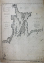
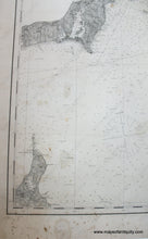
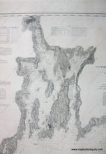
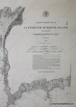
High quality black and white giclee reproduction of the coast chart showing the waters surrounding Narragansett Bay from Cuttyhunk to Block Island. Part of a series of three charts, no. 111, no. 112, and no. 113, which show from Block Island to Monomoy. Includes water depth information and some land information. Has not been touched up or photoshopped, so it includes original imperfections for authenticity. Approx. 42 x 30 inches to edge of image. Measured to the edges of the printed area. Paper may be larger but can be trimmed as needed.
Item Number: REP419


