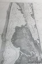
1883
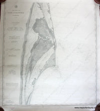
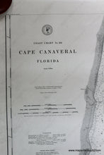
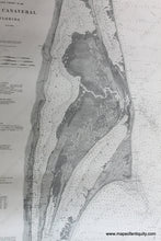
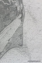
Maker: US Coast and Geodetic Survey.
Antique black and white nautical chart of part of the eastern coast of Florida from 1883 by the US Coast Survey. Includes what is now the area of the Kennedy Space Center, Merritt Island National Wildlife Refuge, part of the Canaveral National Seashore, and Titusville. Very good overall antique condition with some minor wear at paper edges. Approx. 35.25 x 32.25 inches **NOTE- because this map requires extra insurance for shipping, an additional charge will appear on your card after your original purchase. If you would like to know what that charge will be, please contact us.**
Item Number: NAU216


