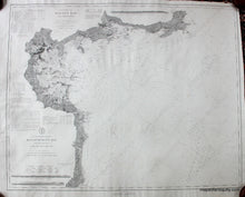
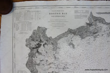
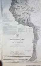
1872
Maker: U.S. Coast Survey.
Black and white antique coastal chart, 1872 with additions to 1878, restored. Shows the area from Cape Ann to Marshfield with Salem, Nahant, Boston around the time of the Back Bay fill, Boston Harbor, Hingham Bay, Cohasset, Scituate, North River, and more. Very good overall antique condition overall, with soundings, and information on tides, light houses, buoys, tides. Approx. 30.75 x 38.5 inches.
Item Number: NAU177


