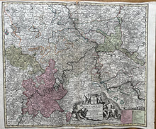
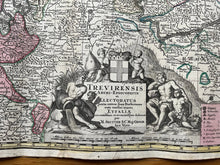
Genuine Antique Hand-colored Map
c. 1740
Maker: Seutter
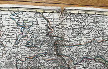
This antique map of Luxembourg and Germany, includes the Rhine and Mosel Rivers, Coblentz/Koblenz, Bonn, Dusseldorf, Bingen, Trier. Published c. 1740. In overall good antique condition with edge-wear and 3/4 inch tear in top center seam, with excellent color, measures about 19 1/2h x 23"w. Price reflects condition.
Item Number: CSMT071


