1895
Maker: Walker
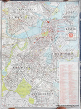
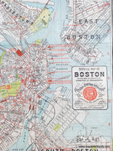
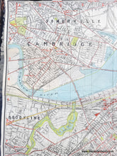
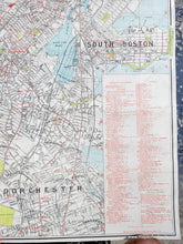
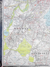
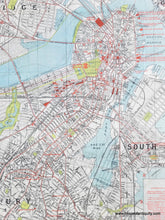
Antique map of Boston by Walker, copyrighted in 1895 and published for the Fourteenth International Christian Endeavor Convention, held July 10-15 in 1895. This map shows roads and railroads as well as convention auditoriums, churches, hotels, places of historic interest, railroad stations, and steamboat wharves, including Charleston, East Boston, South Boston, Cambridge, Somerville, Brookline, Roxbury, Jamaica Plain, and Dorchester. The printed color brings the city to life with blue water and green parks. Several areas along the water show proposed and planned additions to the city, including the area of South Bay and near the Esplanade in Cambridge. This was published as a folding city map for tourism. Very good condition with some hinging tape on the back from when it was previously framed. Measures approx. 27.5 x 20.25 inches to the neatline.
Item Number: CSMT110


