1778
Maker: Depot General de la Marine/Antoine de Sartine
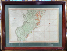
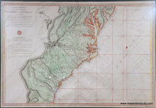
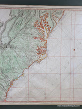
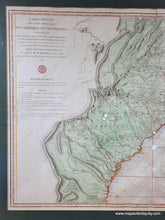
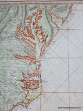
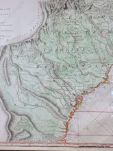
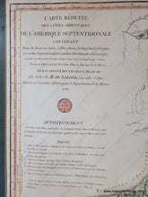
Impressive chart of the coast from New Jersey to Florida by Sartine, published by Depot General de la Marine, 1778. Includes Maryland, Delaware, Virginia, North and South Carolina, and Georgia. Extensive Rhumb lines fill the ocean and water depths are noted along the coast. Excellent depictions of Delaware Bay, Chesapeake Bay, Pamlico Bay and the Outer Banks, etc. Includes cities, towns, roads, topography. Text under the title lists other maps available for specific areas. Vibrant later coloring. Very good condition, with a few small spots, framed. The framing does not appear to be archival and the map should be reframed, therefore if it is purchased online, it will be shipped unframed. This map has not yet been removed from the frame and may be attached to a board- please contact us if you are interested and wish to know for sure. It measures approx. 22.75 x 33.75 inches to the neatline. Please forgive the small amounts of glare on the glass in the photos.
Item Number: CSMT145


