1928
Maker: Ernest Clegg
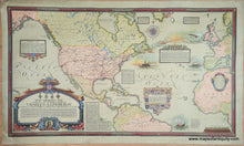
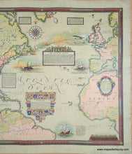
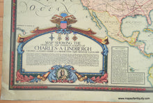
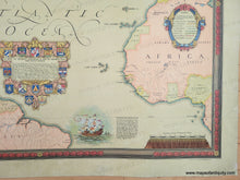
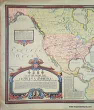
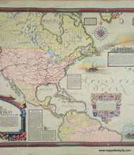
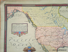
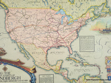
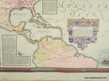
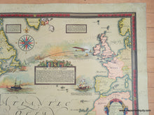
Impressive map celebrating the historic transatlantic flight in 1927 of Charles Lindbergh, who flew from Long Island to Paris. This map shows the many flights that Lindbergh made before the celebrated flight, traveling around the United States and also to the Caribbean and South America. The text throughout the map details these flights and the places Lindbergh landed through the journies, as well as other notable flights and exploration. This map was designed by Ernest Clegg and published by the John Day Co. Beautiful decorative border, cartouche, and illustrations. Very good restored condition: this map has been cleaned, deacidified, some tears repaired, and backed on cloth for sturdiness. Measures approx. 26 x 46 inches to the neatline with plenty of margin.
Genuine Antique Map from 1928
Item Number: CSMT213


