1876
Maker: Warner & Beers / Union Atlas Co..
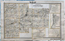
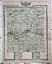
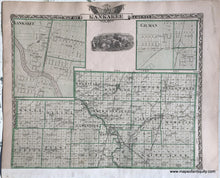
Antique double-sided map: centerfold map of Kendall, Will, Grundy, and the south part of Cook Counties with insets of Lacon, Wilmington, Braidwood, and Morris; two maps on the back sides: on one side is a map of LaSalle County, IL; on the other side is a map of Kankakee County with inset maps of Kankakee and Gilman, IL. Published in the Atlas of the State of Illinois, published by Warner & Beers with the Union Atlas Co., 1876. Good to very good condition, with some small wrinkles, minor spots, and overall mild toning that is a bit darker at the paper edge. Mild image transfer. There is a paper strip on the Kankakee side that slightly covers part of the border from where the sheet was bound into the atlas. Centerfold map measures approx. 15 x 25 inches to the neatline, not including the decorative border. Back sides with smaller maps measure approx. 15 x 12 inches to the neatline, not including the decorative border. Back side sheets with smaller maps can be purchased separately for $60 each.
Item Number: MWE462


