1812
Maker: Tardieu
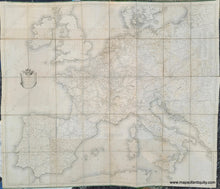
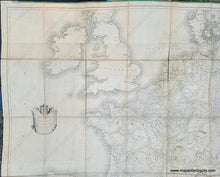
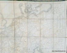
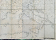
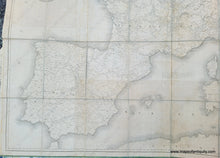
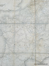
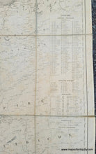
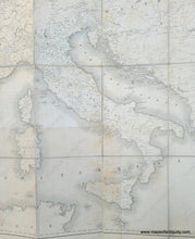
A rare and impressive map of the French Empire during the time of Napoleon. This map, published by Pierre Alexandre Tardieu in 1812, primarily shows political divisions and post roads. It has excellent detail of Western Europe during the end of Naopleon's reign. Other later versions exist, with changes and updates to the plates or printed with new plates. Good antique condition with an area of slightly darker toning at bottom center. This map appears to have been printed on separate sheets, joined, and then sectioned to be mounted on linen, making it a folding map. It fits into a case that measures approx. 10.25 x 7.75 inches and the map when unfolded measures approx. 47.5 x 55.5 inches to the neatline.
Item Number: EUR2968


