Pickup available at 1409 MAIN ST, CHATHAM MA
Usually ready in 24 hours
1951 - Vue du Centre de Paris - Antique Map
-
1409 MAIN ST, CHATHAM MA
Pickup available, usually ready in 24 hours1409 Main Street
Chatham MA 02633
United States+15089451660
Item number: EUR3095
Genuine Vintage Map
1951
Maker: Blondel la Rougery / Grand Marnier
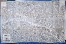
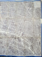
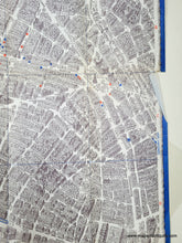
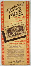
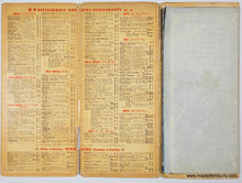
Vintage pictorial map of the center of Paris, France, by Blondel la Rougery, 1951, published by Grand Marnier. Detailed renderings of buildings, gardens, parks, monuments, with boats on the Seine and places of interest, such as hotels, cabarets, theatres, and cafes, indicated in red or blue. Includes the Eiffel Tower, the Louvre, Notre Dame, Arc de Triomphe, and many more. This was issued as a folding map and it retains its folds. The outer jacket of the map references the celebration of Paris' 2000th anniversary. Fair to good condition with minor wear along the folds, a tear on left side along a fold, and a small tear on right side. All of these can be easily fixed by a framer and the map should look great framed. The map is attached to its original jacket, which could be folded under or removed for framing. Approx. 28.75 x 43.5 inches to the paper edges. Price has been reduced based on condition.
Item Number: EUR3095


