1905
Maker: Galls & Inglis
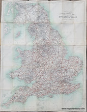
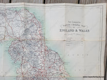
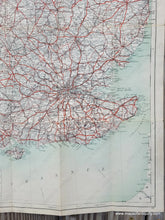
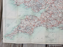
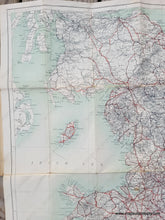
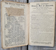
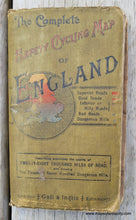
Antique folding map of England and Wales showing cycling routes, published c. 1905 by Gall & Inglis. This bicycling map indicates Superior Roads, Good Roads, Hilly or Inferior Roads, Bad Roads, Dangerous Hills, and Railroads. The map was mounted on cloth and folded. It is in fair to good condition with notable wear along the folds. It was issued in a paper jacket that is still attached. Measures approx. 28.75 x 22 inches to the neatline.
Item Number: EUR3158


