1844
Maker: William Spooner
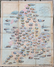
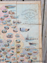
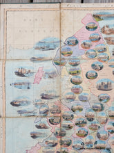
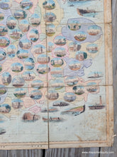
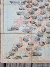
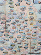
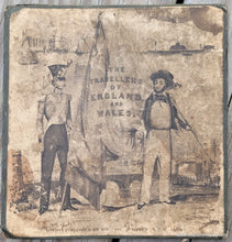
Antique folding map of England and Wales showing numerous views, published 1844 by William Spooner. This map was published as a game board, though the instructions for the game are lost. According to sources on the internet, it is a roll and move game. Players start at the very top (space 1) and must reach London (space 104) first to win the game. The rule book includes descriptions of each county. The map was mounted on cloth in sections so it can be folded and attached to a hard jacket. This charming map features original color. Fair condition with wear along the folds and staining. Boards are attached. It could be restored for an additional cost, although the cost of restoration may be imbalanced compared to the value of the map. Measures approx. 23.75 x 19 inches to the neatline.
Item Number: EUR3159


