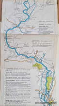
1920 - The Oarsman's and Angler's Map of the River Thames from its source to London Bridge. - Antique Map
Genuine-Antique-Map-The-Oarsmans-and-Anglers-Map-of-the-River-Thames-from-its-source-to-London-Bridge--England-Antique-Folding-Maps--1920-Stanford-Maps-Of-Antiquity-1800s-19th-century
1920 - The Oarsman's and Angler's Map of the River Thames from its source to London Bridge. - Antique Map
  • Load image into Gallery viewer, 1920 - The Oarsman's and Angler's Map of the River Thames from its source to London Bridge. - Antique Map
  • Load image into Gallery viewer, Genuine-Antique-Map-The-Oarsmans-and-Anglers-Map-of-the-River-Thames-from-its-source-to-London-Bridge--England-Antique-Folding-Maps--1920-Stanford-Maps-Of-Antiquity-1800s-19th-century
  • Load image into Gallery viewer, 1920 - The Oarsman's and Angler's Map of the River Thames from its source to London Bridge. - Antique Map
  • Load image into Gallery viewer, 1920 - The Oarsman's and Angler's Map of the River Thames from its source to London Bridge. - Antique Map
  • Load image into Gallery viewer, 1920 - The Oarsman's and Angler's Map of the River Thames from its source to London Bridge. - Antique Map
  • Load image into Gallery viewer, 1920 - The Oarsman's and Angler's Map of the River Thames from its source to London Bridge. - Antique Map
  • Load image into Gallery viewer, 1920 - The Oarsman's and Angler's Map of the River Thames from its source to London Bridge. - Antique Map
  • Load image into Gallery viewer, 1920 - The Oarsman's and Angler's Map of the River Thames from its source to London Bridge. - Antique Map
  • Load image into Gallery viewer, 1920 - The Oarsman's and Angler's Map of the River Thames from its source to London Bridge. - Antique Map
  • Load image into Gallery viewer, 1920 - The Oarsman's and Angler's Map of the River Thames from its source to London Bridge. - Antique Map
  • Load image into Gallery viewer, 1920 - The Oarsman's and Angler's Map of the River Thames from its source to London Bridge. - Antique Map
  • Load image into Gallery viewer, 1920 - The Oarsman's and Angler's Map of the River Thames from its source to London Bridge. - Antique Map
  • Load image into Gallery viewer, 1920 - The Oarsman's and Angler's Map of the River Thames from its source to London Bridge. - Antique Map

1920 - The Oarsman's and Angler's Map of the River Thames from its source to London Bridge. - Antique Map

Regular price
$150.00
Sale price
$150.00
Regular price
Sold out
Unit price
per 
Shipping calculated at checkout.

Item number: EUR3246
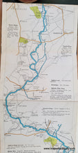
Genuine Antique Map

1920

Maker: Stanford


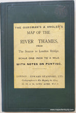
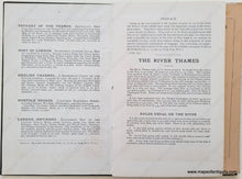
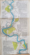
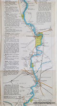
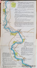
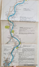
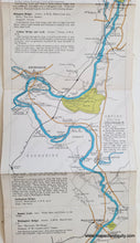
Antique folding map and booklet of the River Thames in England, published by Edward Stanford, map dated 1919 and booklet printed 1920. Shows locks, weird, water mills, towing path and ferry, railways and stations, towns, villages, cities, country estates, roads, and topography. One inch to a mile. With notes about the bridges, locks, weirs, ferries, etc. throughout. Map is backed on fabric for stability. Original printed color. Booklet measures approx. 6.5 x 4.5 inches. Map measures approx. 100 inches by 6.25 inches. Note: the long image is a composite image of many photographs- any breaks in the image are due to piecing together the photos, and they are not in the actual map.


Item Number: EUR3246