Item number: NJE066
Genuine Antique Report Chart
1874
Maker: U.S. Coast Survey.
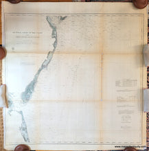
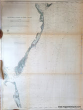
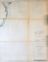
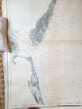
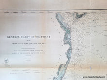
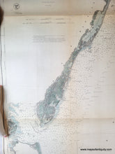
Antique coastal chart of the coasts of Delaware, Maryland, and Virginia, from Cape May to Cape Henry. Includes significant coastal details, bathymetric data, as well as information on tides, light houses, beacons and light vessel. The date near the title indicates the chart was published in 1862, however we know this chart was published later because there is a note in the lower right saying the buoys were corrected up to 1874. Recent hand-coloring. Fair condition, has been patched with canvas backing, overall toning, toning along fold lines, several holes along fold line that have been patched by overall canvas backing. Priced as is, measures approx. 31.5 x 33 inches. Apologies for the poor lighting in the photos. Additional photos can be taken on request.
Genuine Antique Chart from 1874
Item Number: NJE066


