1882/1898
Maker: USC&GS.
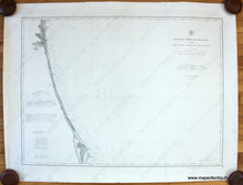
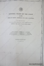
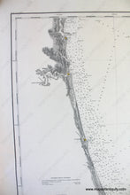
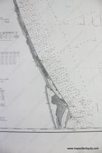
Antique nautical chart of part of the Florida Coast by the US Coast and Geodetic Survey, published 1882 and corrected to 1898. Includes Amelia Island, Jacksonville, St Augustine, and what would later become Daytona Beach. With soundings, and information on tides, light houses, buoys, tides, and more. Very good overall condition with light toning and a few small tears in the paper edges. Approx. 28 x 37.5 inches to the neatline. **NOTE- because this map requires extra insurance for shipping, an additional charge will appear on your card after your original purchase. If you would like to know what that charge will be, please contact us.**
Item Number: NAU315


