1817
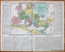
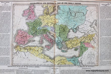
Maker: Lavoisne.
Antique hand colored map of the Roman Empire "Intended for the Elucidation of Lavoisne's Historical Atlas", published by Carey & Sons in the 1817 edition of Lavoisne's Atlas. Features a map colored by country plus detailed descriptions about the Roman Empire. Very good condition with some minor stains, mostly along the center fold. Total dimensions approx. 17.5"h x 22"w, actual map is 10 1/2"h x 15"w.
Item Number: EUR758


