1898
Maker: Cram.
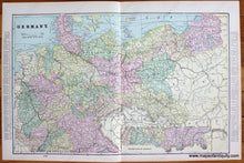
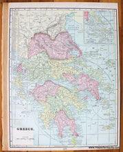
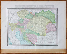
Antique printed color two-page map of Germany (Recto). Includes an inset map for the lower part of Germany. Verso #1: A map of Greece (which has an inset map of the Cyclades.) Verso #2: A map of Austria and its environs. All three maps include the area, population, and a list of chief cities. Very good overall antique condition with minor toning. By Cram, 1898. Recto map (Germany) measures approximately 12.75" x 19.75" (H x W) to the neatline. Map of Greece measures approx. 13.5" x 10.5" to the neatline. Map of Austria, etc. measures approx. 8" x 11" to the neatline. (Note: The map of Greece includes the area, population, and list of chief cities within the neatlines. The maps of Germany and Austria-Hungary have these lists outside of their neatlines.)
Item Number: EUR1891


