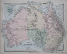
Genuine Antique Hand Colored Map
1881
Maker: Gray.
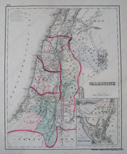
Antique hand colored map from "The National Atlas" of 1881. Shows townships, cities, land forms, bodies of water, rivers, and islands. Includes inset map of Tasmania. Reverse is a map of Palestine. Very good overall antique condition with minimal light staining in margin. Approx. 13.5 x 17 inches.
Item Number: OCE064


