Item number: MWE128
Genuine Antique Hand Colored Map
1856
Maker: Smith.
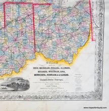
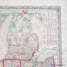
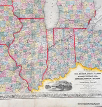
Antique hand colored map of several Midwest states and the Great Lakes area, by J. Calvin Smith for the Guide published by J.H. Colton, 1856. Showing the Township lines of the United States Surveys, Location of Cities, Towns, Villages, Post Hamlets, Canals, Rail and Stage Roads. Beautiful original color, rich detail of roads and routes. Counties, as they existed, are delineated by color. This antique map was originally a fold-out map, it has been restored as a flat map, with tissue backing. Our example has a unique feature: the person applying the vibrant red-pink that delineates the states made a mistake! They accidentally followed a railroad in Indiana instead of the border line. Overall very good condition, 20 x 27.5 inches.
Item Number: MWE128


