1902
Maker: U.S. Coast Survey.
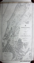
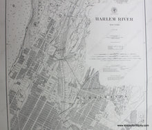
Black and white antique coastal chart of the Harlem River and environs, including part of the Hudson River, Inwood, Upper Manhattan, Sugar Hill, Harlem, the Bronx, Washington Heights, and part of Wards Island, among others. Good to very good antique condition, restored, rebacked, with darkening and staining at top edge and repaired edge tears, 40.5 x 20.75 inches.
Item Number: NYO201


