1876
Maker: Beers.
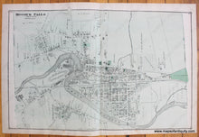
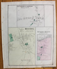
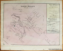
Antique hand colored map of Hoosick Falls, NY from Beers' Atlas of Rensselaer County, N.Y. by F.W. Beers & Co, 1876. Two versos: Pittstown Corners, Hoosick, Buskirks Bridge (Hoosick) on one side and North Hoosick, West Hoosick, Walloomsac on the other. Includes streets, railroads, public buildings, parks, bodies of water, and property owners names. Good condition with a few minor spots/stains/foxing. Both verso maps have binding paper on one side. Hoosick Falls map measures approx. 14.25 x 22 inches. Each verso side measures approx. 14 x 11 inches to the border line.
Item Number: NYO838


