Item number: MAS672
Genuine Antique Map
1875
Maker: Beers.
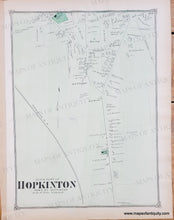
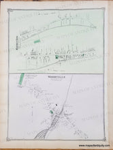
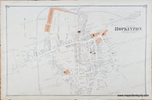
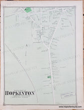
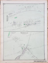
Antique map of Hopkinton from the Middlesex County Atlas, by Beers & Co., 1875. The larger centerfold map shows the North Part of Hopkinton. On the back are maps of the South Part of Hopkinton and Woodville with Hayden Row. These maps show property owners of the time. Larger map measures approx. 14 x 22 inches.
Two options: One is hand-colored and the other has printed color. Both were included in atlases from 1875. It is likely that the atlas was first issued with all hand-colored maps and then it sold out and they needed to print more maps and assemble more atlases. They may have had some hand-color maps left over from the first printing and included them in a second issuing of atlases. The map with printed color was in an atlas that said it was published in 1875 and it had a mix of printed color and hand-colored maps! the hand-colored maps are more likely to have multiple different colors, while the printed color can be identified by the tiny horizontal lines of color. Both options are in good to very good condition with minor signs of age such as mild wear or waviness at the paper edges.
Genuine Antique Map from 1875
Item Number: MAS672


