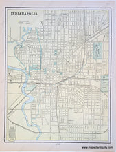
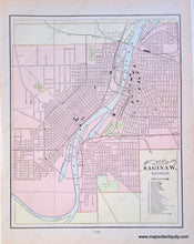
1900
Maker: Cram.
Antique printed color map of Indianapolis (Recto). Includes indications for horse roads and steam roads. Verso: A map of Saginaw, Michigan. Includes an reference for twenty-five points of interest. Both maps show city streets clearly. Very good condition with some slight overall toning. By Cram, in Cram's Universal Atlas Geographical, Astronomical and Historical, 1900. Map of Indianapolis measures approximately 13" x 10.25" to the neatline. Map of Saginaw, MI measures approximately 12.5" x 10" to the neatline.
Item Number: MWE279


