1868/1878
Maker: British Admiralty.
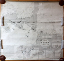
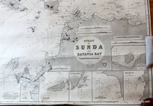
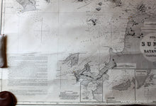
Antique black and white nautical chart of part of Indonesia, showing the Sunda Strait between Sumatra and Java. This chart was published in 1878 by the British Admiralty. This chart has Krakatoa on it and shows the island as it was before the eruption in 1883. Includes seven small inset map and also includes the city of Batavia, or Djakarta, now Jakarta. Very good antique condition, tightly rolled with some minor wear at edges. approx. 37.75 x 40 inches.
Item Number: NAU235


