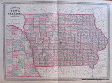
Genuine Antique Hand Colored Map
1870
Maker: Johnson.
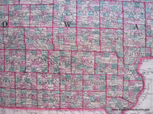
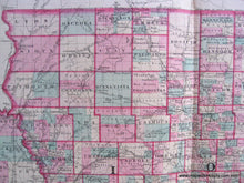
Iowa and eastern part of Nebraska, colorful map with decorative border, hand colored by county (Nebraska and parts of Iowa) and township (Iowa), Johnson's New Illustrated Family Atlas of the World. 16 1/2" x 22 1/2", very good condition.
Item Number: MID055


