1884
Maker: Walker.
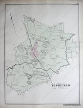
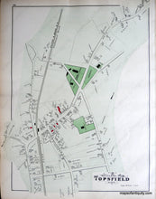
Antique hand colored maps of Ipswich and Topsfield MA from Walker's 1884 Atlas of Essex County. Side one is the village of Ipswich and shows property owners buildings and names, bodies of water, landforms, islands, railroads, roads, and factories. Side two displays the town of Topsfield with the village of Topsfield. Includes buildings with owners names, public buildings and areas, landforms, bodies of water, islands, railroads, roads, and schools. Very Good antique condition with light overall toning, some minor stains (mostly on the Village of Topsfield map but not visible in photo- please contact us if you are concerned). approx. 17 x 26 inches.
Item Number: MAS1653


