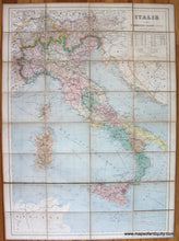
1891
Maker: Eugene Andriveau-Goujon.
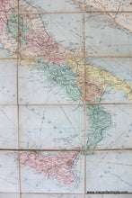
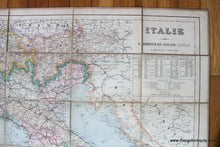
Antique printed color map of Italy by E. Andriveau-Goujon, 1891. This map has been divided into sections and mounted on linen, making it foldable. It shows Italy and the surrounding area, colored by country and region. Includes capitals, towns, villages, railroads, steamship routes, roads, and topography. Very good condition with some toning, some minor spots, and normal wear. Measures approx. 37 x 26 inches to the neatline or 39 x 28 inches to the outer edges.
Item Number: EUR2706


