Current hours: 10am to 5pm Monday through Saturday. Closed on Sundays. PLEASE NOTE: Our maps are only available at our website www.mapsofantiquity.com or at our store!

Antique-Printed-Color-Map-Lancaster-England-Europe-England-1884-Letts-Maps-Of-Antiquity
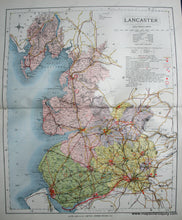
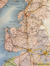
1884 - Lancaster, England - Antique Map
  • Load image into Gallery viewer, Antique-Printed-Color-Map-Lancaster-England-Europe-England-1884-Letts-Maps-Of-Antiquity
  • Load image into Gallery viewer, 1884 - Lancaster, England - Antique Map

1884 - Lancaster, England - Antique Map

Regular price
$65.00
Sale price
$65.00
Regular price
Sold out
Unit price
per 
Shipping calculated at checkout.

Item number: EUR1437
Genuine Antique Printed Color Map

1884

Maker: Letts.

Antique printed color map from Letts' Popular County Atlas of England and Wales. Also known as Lancashire. Good to very good condition with center fold as issued and some minor imperfections and foxing. Approx. 16 x 13 inches

Item Number: EUR1437