Winter hours: Tuesday - Saturday 10am to 5pm. Close Sundays and Mondays until May. We appreciate your business!

1945 - Pictorial Map of London - Antique Map
  • Load image into Gallery viewer, 1945 - Pictorial Map of London - Antique Map
  • Load image into Gallery viewer, 1945 - Pictorial Map of London - Antique Map
  • Load image into Gallery viewer, 1945 - Pictorial Map of London - Antique Map
  • Load image into Gallery viewer, 1945 - Pictorial Map of London - Antique Map
  • Load image into Gallery viewer, 1945 - Pictorial Map of London - Antique Map

1945 - Pictorial Map of London - Antique Map

Regular price
$175.00
Sale price
$175.00
Regular price
Sold out
Unit price
per 
Shipping calculated at checkout.

Item number: TOW446
Genuine Antique Printed Color Folding Map

c. 1945

Maker: Gross.


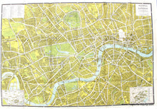
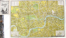
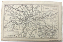
Antique printed color folding pictorial map of London, by Alexander Gross, published by Geographer's Map Co., c. 1945. Features buildings, gardens, public and important buildings labeled, and the area destroyed in WWII marked. Also includes an index to places of interest, an inset map of Theatreland, and an inset of Cinemaland. Very good to excellent condition with some pen marks in the upper left list of locations. This map was published  as a folding map and includes a cover. The cover features a map of the underground railways (the tube) and the London suburbs. Approx. 19 x 28 inches to the neatlines.  


Item Number: TOW446