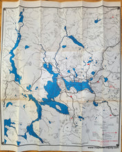
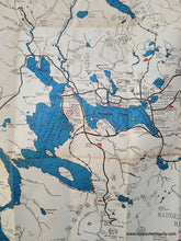
Genuine Folding Map
1967
Maker: Rangeley Lakes Region Chamber of Commerce
Vintage folding map of the Rangeley Lakes region of Maine, issued by the Rangeley Lakes Region Chamber of Commerce, copyrighted in 1941 and revised in 1967. This map shows roads, trails, ski areas, campsites, scenic locations, golf courses, abandoned railroads, and more. With water depths in the lakes and elevations of peaks. Back side has tourism information, including hotels, campsites, and many black and white photographs. Good to very good antique condition with wear along the folds, including some separation and a small piece of tape on the face of the map near Upper Dam on the left side. Measures approx. 24.5 x 21.5 inches to the neatline.
Item Number: MAI277


