Genuine-Antique-Topographical-Map-Map-of-Alaska---United-States-Alaska-1904-Bernard-/-National-Geographic-Magazine-Maps-Of-Antiquity-1800s-19th-century
1904 - Map of Alaska - Antique Map
  • Load image into Gallery viewer, Genuine-Antique-Topographical-Map-Map-of-Alaska---United-States-Alaska-1904-Bernard-/-National-Geographic-Magazine-Maps-Of-Antiquity-1800s-19th-century
  • Load image into Gallery viewer, 1904 - Map of Alaska - Antique Map
  • Load image into Gallery viewer, 1904 - Map of Alaska - Antique Map

1904 - Map of Alaska - Antique Map

Regular price
$225.00
Sale price
$225.00
Regular price
Sold out
Unit price
per 
Shipping calculated at checkout.

Item number: WES415
Genuine Antique Topographical Map

1904

Maker: Bernard / National Geographic Magazine.

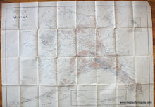
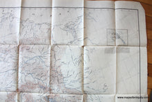
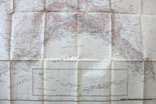
Antique map of Alaska showing topographic information, published in the National Geographic Magazine in May 1904. This map is very similar to another map that we have but the ocean is colored along the coast lines in the other map and the title is slightly different. These maps are significant because the Alaska boundary dispute with Canada was resolved in 1903, so these were some of the first published maps with the finalized border. Very good condition, folded as issued, with a few small separations at the folds and wear at the paper edges. Measures approx. 33" x 48" to the neatline.

Item Number: WES415