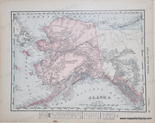
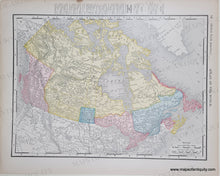
Genuine Antique Printed-Color Map
1898
Maker: Rand McNally.
Antique printed-color map of Alaska, with inset map of the Aleutian Islands. On the back side is a map of British North America (present-day Canada). Both maps include topographical details, etc. Good to Very good overall antique condition with mild toning throughout, and some minor signs of age. Each map measures approximately 9.25" x 12.25" (H x W) to the neatline.
Genuine Antique Map from 1898
Item Number: WES370


