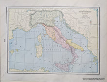
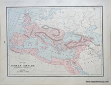
Genuine Antique Printed Color Comparative Chart
1892
Maker: Home Library & Supply Association.
Antique printed color double-sided maps published in "The Pacific Coast and the World" by the Home Library and Supply Association, 1892. Map of the Roman Empire in the Second and Third Centuries A.D. on one side and map of Ancient Italy B.C. 800-222. Very good overall antique condition with some very mild toning/foxing (mainly at the outer edges.) Measure approx. 12 x 9.25" to the neatline.
Item Number: EUR2744


