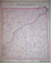
Black-and-White-Engraving-Map-of-Barker-Township-(NY)-United-States-New-York-1876-Everts-Ensign-&-Everts-Maps-Of-Antiquity
1876 - Map of Barker Township (NY) - Antique Map
  • Load image into Gallery viewer, Black-and-White-Engraving-Map-of-Barker-Township-(NY)-United-States-New-York-1876-Everts-Ensign-&-Everts-Maps-Of-Antiquity
  • Load image into Gallery viewer, 1876 - Map of Barker Township (NY) - Antique Map

1876 - Map of Barker Township (NY) - Antique Map

Regular price
$85.00
Sale price
$85.00
Regular price
Sold out
Unit price
per 
Shipping calculated at checkout.

Item number: NYO496
Genuine Antique Map

1876

Maker: Everts, Ensign, & Everts.


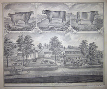
Antique Map from the 1876 Broome County Atlas by Everts, Ensign & Everts. Double-sided. Reverse of page contains images of cows and the residence and dairy farm of George Schermerhorn. This piece measures approximate 15 x 12 inches and is in Very Good antique condition with some minor foxing and discoloration throughout.


Item Number: NYO496