Genuine Antique Printed Color Map
c. 1890
Maker: People's Publishing Co..
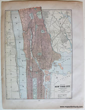
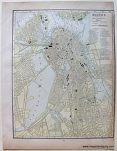
Antique printed color map published in The People's Illustrated & Descriptive Family Atlas of the World by People's Publishing Co. c. 1890. Shows roads, ferries, bridges, railroads, parks, the subway, and more. Very good condition with toning at edges and some very light staining. Boston map is approx. 12.5 x 10 inches to the neatline and has a tight margin on the right side. Northern Manhattan map is approx. 12 x 9 inches to the neatline.
Item Number: TOW604


