Black-and-White-Engraving-Map-of-Sanford-Township-and-Gulf-Summit-(NY)-United-States-New-York-1876-Everts-Ensign-&-Everts-Maps-Of-Antiquity
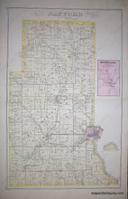
1876 - Map of Sanford Township and Gulf Summit (NY) - Antique Map
  • Load image into Gallery viewer, Black-and-White-Engraving-Map-of-Sanford-Township-and-Gulf-Summit-(NY)-United-States-New-York-1876-Everts-Ensign-&-Everts-Maps-Of-Antiquity
  • Load image into Gallery viewer, 1876 - Map of Sanford Township and Gulf Summit (NY) - Antique Map
  • Load image into Gallery viewer, 1876 - Map of Sanford Township and Gulf Summit (NY) - Antique Map

1876 - Map of Sanford Township and Gulf Summit (NY) - Antique Map

Regular price
$85.00
Sale price
$85.00
Regular price
Sold out
Unit price
per 
Shipping calculated at checkout.

Item number: NYO510
Genuine Antique Map

1876

Maker: Everts, Ensign, & Everts.


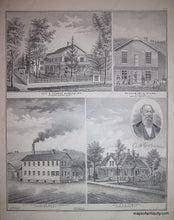
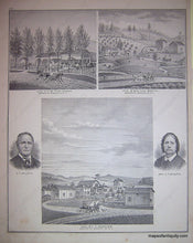
Antique map from the 1876 Broome County Atlas by Everts, Ensign & Everts. Double-sided. Reverse of page contains images of the residences of George Dusenbury and his office, A.W. Coburn and his factory, J.M. Fletcher, Bouton Booth, and A.T. Mosher. This piece measures approximate 26 x 15 inches and is in Very Good antique condition with some minor foxing and discoloration throughout.


Item Number: NYO510