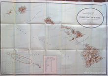
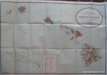
Genuine Antique Map, Printed Color
1909
Maker: U.S. Government Survey/Berthrong.
Antique map of the Hawaiian Islands with an inset of the entire archipelago. Includes topography and a table of distances from Honolulu to various other Pacific ports. Very good overall antique condition, folded as issued, 21 x 31 inches.
Genuine Antique Map from 1909
Item Number: USA094


