1864
Maker: Johnson and Ward.
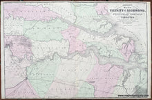
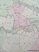
Antique hand colored Civil War Map of the Vicinity of Richmond, McClellen's Campaign in Virginia, colorful map with border, hand colored. From Johnson's New Illustrated Family Atlas of the World published in 1864. approx. 17 1/2" x 26", fair to good antique condition, folded as issued, with tight margins, small spots, and five small binding holes at center fold.
Item Number: MAT080


