1889
Maker: Walker
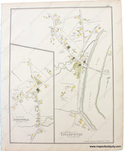
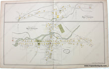
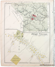
From the Atlas of Middlesex County, MA, 1889, by Walker. Large double-sheet map shows West Townsend, including Squannicook River, property owners, named streets, churches, etc. Versos display the villages of Dunstable and Tyngsborough on one side and on the other side the town of Asby and village center of Ashby. Very good condition , with some minor small tears and stains mostly in margin. Measures approx. 16 x 26 inches for the double sheet. Verso maps measure approx. 16 x 12 inches.
Item Number: MAS2227


