1855
Maker: Walling
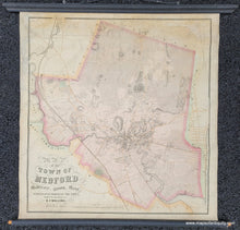
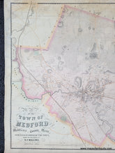
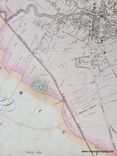
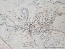
Antique hand colored wall map of Medford, MA, by H.F. Walling, 1855. This handsome map of Medford shows named roads, topography, property owners' names, the area that would become the southern part of the Middlesex Fells Reservation, and more. Includes Tufts University, when it was still just a small college. This map is on rods- it could be displayed in a shadow box frame, removed from the rods, or hung as it is (out of direct light to prevent fading). Very good restored condition, this map has been cleaned and backed on light-weight paper for stability. It retains some sign of age including toning, repaired tears and paper loss, and very mild stains. Measures approx. 31 x 29.25 inches to the neatline. Overall dimensions including the rods: 35.25 x 36.75 inches.
Item Number: MAS2246


