1900
Maker: Rand Avery Supply Co.
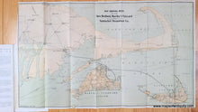
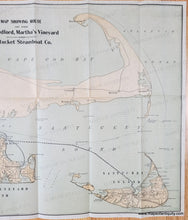
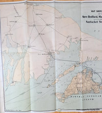
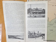
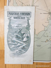
Antique map showing the steamship route between New Bedford, Woods Hole, Martha's Vineyard, and Nantucket. The mainland has very little detail on this map, with the focus being on the islands, which have roads, ponds, hills, and towns noted. This map is undated but we estimate it to be circa 1900 because it does not include the railroad on Martha's Vineyard, which closed in 1896. Original printed color. Folds as issued. Includes an interesting perspective where the northern portions tilt off to the horizon. Very good antique condition with some wear on the folds and tiny holes at fold intersections. This map is part of a travel booklet and is still attached but could be easily removed for framing. Measures approx. 12.25 x 21 inches to the neatline.
Genuine Antique booklet with Map from 1900
Item Number: MAS2465


