Item number: MAS2469
Genuine Antique Map
1930
Maker: Elizabeth Shurtleff
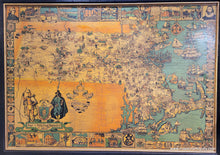
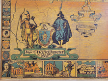
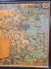
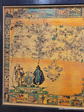
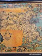
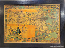
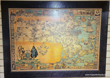
Charming antique pictorial map of Massachusetts by Elizabeth Shurtleff, published for the tercentenary (300 years) celebration of Massachusetts Bay colony by the Graphic History Association, 1930. This map features illustrations throughout showing houses, factories, historical figures, events, and more. Each town is noted, often with a little illustration. The ocean is filled with impressive sailing ships and the border is made of images of notable buildings, the seals of colleges, academies, and universities, and the seals of towns. This map was affixed to a board and varnished, then framed. The varnish has aged over time, resulting in the honeyed-tone and the crackling of the surface. Framed in a wide wood frame. Good antique condition with surface crazing in the varnish and some small patches of surface loss. Measures approx. 33.5 x 45 inches to the outer edges of the frame and 26.5 x 38 inches to the neatline.
Genuine Antique Map from 1930
Item Number: MAS2469


