1898
Maker: Rand McNally.
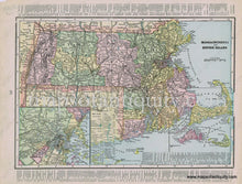
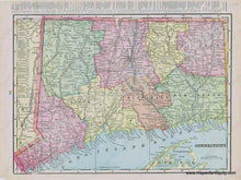
Antique printed color map of Massachusetts and Rhode Island, with an inset map of Boston and its environs (Recto.) On Verso: Map of the state of Connecticut. Both maps are colored by county and include names of major towns/cities, railroads, etc. Good to Very good overall antique condition with mild toning throughout, and some minor roughing/creasing/paper loss at the outer edges of the paper. Recto Map (MA & RI) measures approximately 9" x 13" (H x W) to the neatline. Verso Map (CT) measures approx. 9.5" x 13" (H x W) to the neatline.
Item Number: NEW146


