Genuine Antique Coast Chart
1856
Maker: US Coast Survey
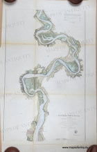
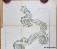
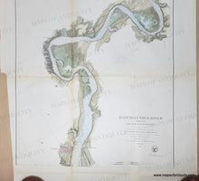
Antique chart of part of the Rappahannock River in Virginia, published by the US Coast Survey in their Annual Report of 1856. This is one section of a six section set of charts of the river, with other sheets being published in later years. Port Royal VA at the bottom. Shows some topographic details, towns, cities, water depths. Recent hand-coloring. With folds as issued. Good to very good antique condition with some mild toning along the folds, some minor wrinkles, small separations at paper edges, and some small holes at the fold intersections. Uneven margin on left where it was bound in the report book. Should frame nicely. Measures approx. 28.75 x 17.5 inches to the neatline
Genuine Antique Coast Chart from 1856
Item Number: MAT330


