Genuine Antique Map
1938
Maker: National Geographic
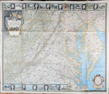
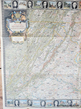
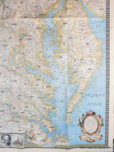
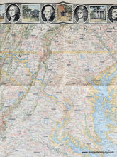
Antique map of the vicinity around Washington DC, published by the National Geographic Magazine in 1938. This map was designed by L. E. Riddiford with research by Chamberlin and Holdstock. The map indicates the locations of battlefields, ruins, historic churches, interesting sights, highways, railroads, etc. Historical notes are included throughout. Includes much of Virginia with Richmond, Norfolk, the Shenandoah Valley, Fredericksburg, all of Maryland and Delaware, part of West Virginia, and small bits of Pennsylvania and New Jersey with Philadelphia. Decorative border features portraits of notable residents and illustrations of notable places. Very good antique condition with minor wear along the folds. Folded as issued. Measures approx. 25 x 30 inches.
Genuine Antique Map from 1938
Item Number: MAT334


