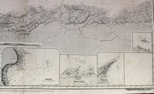
1883
Maker: British Admiralty.
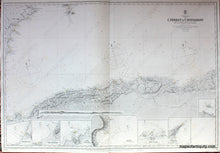
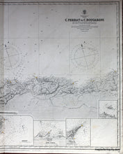
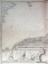
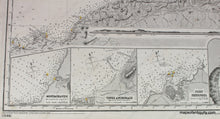
Black and white nautical chart of north Africa in the Mediterranean by the British Admiralty printed in 1883. This chart shows the northern waters and coast of Algeria from near Oran to near Skikda including Algiers, Algeria, Oran Bay, the Gulf of Arzeu, Algier Bay, the Gulf of Bougie and more. Also features part of Spain including Eivissa, Formentera, Xabia, Alicante, and Cape Palos. Includes seven inset maps of Mostaghanem, Tenez Anchorage, Port Shershel, Arzeu, Port Tipaza, Dellys, and the Pisan Rocks. Also has corresponding recognition profile of Oran Bay. Includes land features with heights, towns, cities, railroads, telegraph lines, major roads, ruins, ocean soundings in fathoms, and all bearings are magnetic. Very good overall antique condition with minor image transfer and very light surface soiling. Approx. 25 x 38.5 inches to neatline.
Item Number: NAU197


