1889
Maker: British Admiralty.
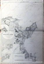
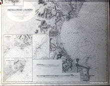
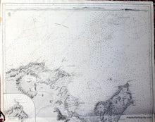
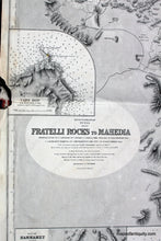
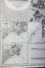
Black and white nautical chart of north Africa in the Mediterranean by the British Admiralty printed in 1889. This chart shows the northern waters and coast of Tunisia including Carthage, the Gulf of Tunis, the Gulf of Hammamet, the Skerki Channel and more. Includes four inset maps of Cape Bon, the Bay of Hammamet, Kalibia Road, and Cani Rocks. Also has corresponding recognition profiles of Hammamet and Kalibia. Includes land features with heights, towns, cities, railroads, telegraph lines, major roads, ruins, ocean soundings in fathoms, and all bearings are magnetic. Good to very good condition with two small spots outside left border and some paper loss through left border at center. Approx. 39 x 25.5 inches to neatline. Priced as is. It may be possible to repair.
Item Number: NAU195


